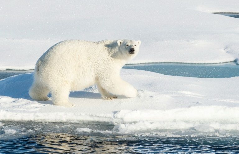
Arctic ice cover in 2016 reached the second lowest minimum on record, tied with 2007.
The sea-ice extent on 10 September stood at 4.14 million sq km, some way short of the 3.39 million sq km record low in 2012, according to BBC.
Arctic sea-ice cover grows each autumn and winter, and shrinks each spring and summer.
It has long been regarded as a sensitive indicator of change to the Earth’s climatic system.
The ice extent has been tracked by the US National Snow and Ice Data Center (NSIDC) in Boulder, Colorado, using satellite measurements.
However, the centre cautioned that the figures were preliminary, adding that changing winds could still push the ice extent lower.
This year’s minimum is seen as something of a surprise as scientists believed that the low atmospheric pressure and cloudy skies in June and July had slowed down the melt.
“It’s pretty remarkable that this year’s sea-ice minimum extent ended up the second lowest, after how the melt progressed in June and July,” said Walt Meier, a sea ice scientist with Nasa’s Goddard Space Flight Center.
“June and July are usually key months for melt because that’s when you have 24 hours a day of sunlight – and this year we lost melt momentum during those two months.”
Record global land and sea surface temperatures in 2015 that continued to shatter records well into 2016 had led many to believe that the Arctic melt would reach a new low mark this year. But some scientists, including experts from Reading University in the UK, argued that their analysis of melt ponds on ice floes indicated that 2016 would not beat 2012.
While tying for the second lowest minimum in the satellite era, this year’s figure is in fact well above the 2012 melt, which saw the ice cover fall to 3.41 million sq km (1.32 million sq mi) – 50% lower than the 1979-2000 average.
H.Z

